Geology & Hydrogeology Services

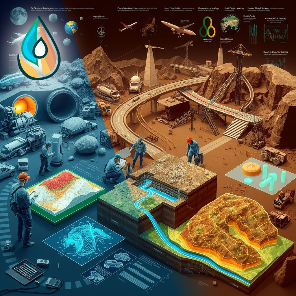
GEPHS covers a wide range of services for diverse engineering projects. The services include but are not limited to:
- Full G&G and Engineering Petroleum Studies
- Subsurface geotechnical investigations
- Determination of foundation type
- Geophysical investigation (surface and borehole geophysics)
- Locating underground cavities
- Geological and engineering geological assessments
- Geohazard Assessment (Faults, Karst, sinkholes, sabkhah, etc.)
- Hydrogeological studies (e.g. well siting, aquifer location, pumping test, etc.)
- Archaeological investigation using geophysical techniques
- 3D scanning and Topographic Survey
- BIM for Archaeological purposes
- Detection of pipe-lines corrosion and leakage from reservoirs
- Site acceptability studies. Scanning of concrete surfaces
- Detection of dam and levee leakage, providing the necessary solutions
- Mapping tunnel and cavern
- Mapping voids beneath pavement and/or behind retaining walls
- Locating buried metal objects (tanks, drums, mines, utilities, etc.)
- Calculating Vs and Vp for soil and rock materials
- Determination of soil and rock elastic properties (dynamic rock modeling)
- Mapping shallow and deep groundwater aquifers
- Inspection of salinity or pollution of waters
- Delineating ground contamination
- Determination of soil salinity and salt water intrusion
- Evaluating pavement and concrete thicknesses
- Three dimensional rebar mapping
- Delineating pits and trenches containing metallic and nonmetallic debris
- Delineating previously excavated and backfilled areas
- Mining and natural resources assessment and exploration
- Determination of highways integrity and durability
- GIS general services
- Satellite Imagery studies for mineral and oil exploration
